Rafael Brooks · 5 November 2026
Regional Research Networks Transform Climate Data Analysis Through Multi-University Data Integration Models
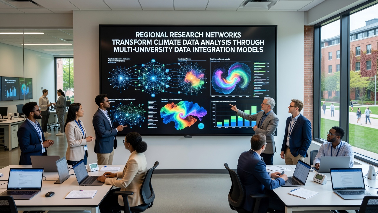
Regional research networks have expanded rapidly in recent years as universities pool resources to handle massive climate datasets that single institutions could not process alone, and these collaborations rely on shared data integration models that standardize formats while allowing real-time updates from satellite feeds, ground sensors, and historical archives. Data shows that institutions in North America and Europe began forming these alliances around 2020, yet growth accelerated after 2023 when funding bodies started requiring cross-border partnerships for large grants.
Building the Infrastructure
Multi-university models operate through centralized hubs that clean incoming streams, tag metadata according to common protocols, and distribute subsets to participating labs based on research focus, while universities contribute local observations such as river levels in the Midwest or permafrost readings from Nordic sites. According to reports from the National Oceanic and Atmospheric Administration, integration efforts reduced duplication rates by 40 percent in joint projects completed during 2025, and similar gains appear in European Environment Agency summaries that track Baltic and Mediterranean monitoring stations.
One study revealed that teams using these networks completed regional temperature trend analyses in weeks rather than months, because standardized pipelines eliminated the need to reconcile mismatched file structures or time zones. Observers note that smaller colleges gain access to high-performance computing clusters they could not fund independently, and this access has enabled student-led projects on microclimate variations in agricultural zones across Canada and Australia.
Data Sharing Protocols in Practice
Protocols developed by the networks specify encryption standards for sensitive location data, automated version control for model updates, and audit trails that record every query, and these rules satisfy both academic ethics boards and government agencies that supply raw satellite imagery. Researchers discovered early on that without such safeguards, participation dropped sharply, so current agreements include clear data-use tiers that range from open public summaries to restricted raw sensor logs accessible only to verified partners.
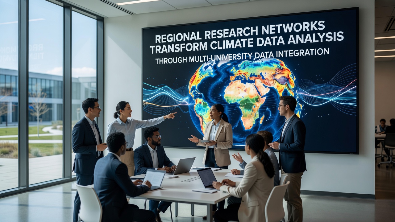
What's interesting is how these frameworks accommodate different national regulations without forcing every participant to adopt identical privacy laws, because layered access controls allow institutions to comply locally while still contributing to the common pool. Figures reveal that by mid-2026 more than 120 universities had joined at least one regional climate network, with new members added from South America and Southeast Asia in the months leading up to the November 2026 global data summit.
Case Examples from Current Projects
Take the Great Lakes network that links universities in the United States, Canada, and parts of Mexico: it combines buoy readings, drone imagery, and municipal water reports to produce monthly lake-effect snow forecasts that feed into agricultural planning models. Another effort centered on the Mediterranean basin integrates drought indices from Spain, Italy, Greece, and North African partners, and the resulting maps have informed irrigation policy discussions in three countries since 2024.
Those who've studied the outputs note that error margins in precipitation predictions dropped noticeably once datasets from multiple elevation zones were merged, and the improvement held across independent validation sets released in early 2026. Yet challenges remain around bandwidth in remote field stations and the occasional mismatch when one partner updates its sensor calibration without notifying the hub.
Future Directions
Network operators now test machine-learning layers that flag anomalies across continents in near real time, while maintaining human review for any data used in policy briefs. Government agencies in several regions have begun routing their own monitoring budgets through these university consortia because the integrated outputs provide broader coverage than agency-only systems once maintained. As November 2026 approaches, planners expect the upcoming summit to finalize expanded protocols for incorporating citizen-science observations without compromising quality controls already in place.
Conclusion
Regional research networks continue to evolve as more universities adopt shared data integration models, and the measurable gains in processing speed and geographic reach appear in multiple agency reports released over the past two years. Continued investment in protocol harmonization and computing access will determine how widely these benefits spread beyond current participants.